Select Language:
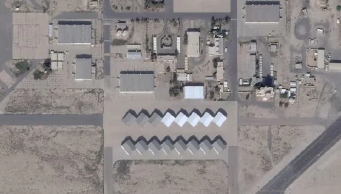
A satellite image shows the Ali Al Salem Base near Al Jahra, Kuwait, dated February 22, 2026 — Reuters
– Planet Labs has increased its image delay to 14 days to prevent adversaries from exploiting the data.
– Experts suggest Iran might be accessing commercial satellite imagery through U.S. adversaries.
– The availability of commercial satellite imagery is leveling the battlefield in modern warfare.
California-based Planet Labs has implemented stricter controls on access to its imagery of the Middle East, aiming to prevent enemies from using the data against the US and its allies. This move exemplifies how the expanding commercial space industry can influence conflicts.
The company, which operates a vast fleet of Earth-observing satellites and provides regularly updated images to governments, businesses, and media outlets, announced Monday that it was extending access restrictions to a 14-day delay, up from the 4-day delay imposed last week.
This temporary measure is intended to limit uncontrolled distribution of the images, reducing the risk of accidental access and misuse as tactical tools by hostile actors, a Planet spokesperson told Reuters.
“In this evolving and highly unique conflict, Planet is taking rigorous steps to ensure our imagery does not contribute to attacks on NATO personnel or civilians,” the spokesperson added.
Some experts believe Iran may be obtaining commercial satellite images, possibly via other U.S. adversaries.
### The Space Warfare Landscape
Military operations depend heavily on space for target identification, missile guidance, tracking, and secure communications. Reflecting space’s vital role in modern conflict, U.S. officials recently stated that their space forces were among the first to act in operations against Iran.
A U.S. Space Command representative declined to specify the capabilities employed. The command is responsible for missile tracking, secure communication, and satellite support for U.S. and allied forces.
Although high-resolution satellite imagery was once limited to advanced space-capable nations, access has become more democratized through commercial providers, as Ukraine’s war with Russia demonstrates. Satellite operators now utilize AI to accelerate image analysis and target identification.
“Advanced analysis used to be exclusive to top-tier military analysts—it’s no longer,” said Chris Moore, a defense industry consultant and retired British Royal Air Force vice-marshal.
Ultimately, this technological shift is creating comprehensive space-based surveillance, making concealment and deception by military forces increasingly challenging.