Select Language:
Hurricane Erin’s extensive impact swept across Caribbean islands with strong gusts and heavy rain on Monday, as it posed risks of rip currents and flooding along the U.S. East Coast later this week, even without an anticipated landfall. The Category 4 storm saw significant rapid intensification over the weekend, a phenomenon linked by scientists to human-induced climate change. Briefly reaching Category 5 status before slightly weakening, Erin’s maximum sustained winds are now clocked at 140 mph while moving northwest at 10 mph, according to the latest report from the U.S. National Hurricane Center. The storm’s size is unusual, with hurricane-force winds extending 80 miles and tropical storm winds spreading out to 230 miles.
Forecast models project outer rainbands to drench Cuba, the Dominican Republic, Turks and Caicos, and the Bahamas—where a tropical storm warning remains in effect—through Monday into Tuesday. Localized rainfall totals could reach up to six inches (15 centimeters). Jamie Rhome, the deputy director of the NHC, cautioned Americans not to dismiss the threat because Erin’s projected track stays offshore. He warned that parts of the Mid-Atlantic, particularly North Carolina’s Outer Banks, could experience waves up to 20 feet (six meters), coastal flooding, and storm surges that might flood homes, wash out roads, and render some areas inaccessible. Evacuations are underway for Ocracoke and Hatteras islands in North Carolina.
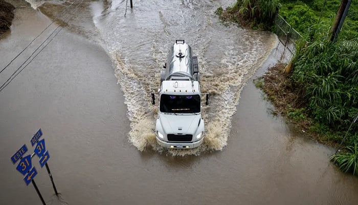
Beginning Tuesday, much of the East Coast faces a heightened danger of life-threatening surf and rip currents, which occur when water channels surge away rapidly from the shoreline. In Puerto Rico, a U.S. territory with a population exceeding three million, heavy flooding over the weekend inundated homes and roads in the eastern region, causing widespread power outages. Although most services have since been restored, the island experienced significant disruption.
Daniel Gilford, a climate scientist with Climate Central, pointed out that Erin is among the fastest-recorded storms to intensify so rapidly. He explained that this intensification correlates with unusually warm ocean surface temperatures—climate change has made such extreme heat more likely, increasing the energy available for storm development. Climate Central’s analysis indicates Erin traveled over waters whose extreme warmth was up to 100 times more probable due to climate change.
The Atlantic hurricane season, spanning June 1 to November 30, has now reached its climatic peak. So far, it has been relatively subdued with just four named storms, but NOAA forecasts indicate an above-average season overall. Typically, a season produces around 14 named storms, with seven reaching hurricane strength and three evolving into major hurricanes. This year’s heightened activity is attributed to above-normal sea surface temperatures and an active West African monsoon. Scientific consensus suggests that climate change is fueling stronger tropical cyclones—warmer oceans generate more powerful winds, increased atmospheric heat boosts rainfall, and higher sea levels lead to more destructive storm surges. There is also concern that climate change could be contributing to an increase in hurricane frequency.